|
glencoe mountain
| |||||||||||||||||||||||||||||||||||||||||||||||||
|
Webcams
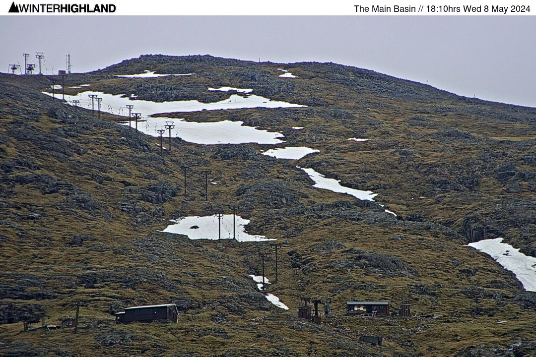
Upper Mtn Base
188cm 74"
Location: Average of Main Basin & Happy Valley (approx 3500ft). Happy Valley: 50cm Main Basin: 325cm Last Measured: 05/04/26 Prev Avg: 165cm 02/04/2026
HV: 35cm MB: 295cm Prev Avg: 155cm 25/02/2026
HV: 40cm MB: 270cm Prev Avg: 173cm 21/02/2026
HV: 55cm MB: 290cm Prev Avg: 190cm 15/02/2026
HV: 70cm MB: 310cm Prev Avg: 160cm 09/02/2026
HV: 45cm MB: 285cm Prev Avg: 68cm 17/01/2026
HV: 25cm MB: 110cm Prev Avg: 0cm 29/10/2025
HV: 0cm MB: 0cm |
Glencoe at a Glance...
Snow Level: nil ft (nilm) Vertical Runs: nil ft (nilm) • top of page • :: Glencoe Official ReportLast Update 08.36hrs on Monday 3rd Aug 2026 Chairlift open from 9am, last uplift 4.15pm.
Bike tracks, bike hire, disc golf, summer tubing and Plateau cafe all open daily.
• top of page • :: Glencoe Lift Status & NewsAccess chair open from 9am. Bike Tracks, bike hire, disc Golf, Summer tubing and Plateau cafe all open daily. White Corries cafe at the base open from 8am until 8pm. The issue with the accommodation booking system is now resolved, please book accommodation on the website.
Official Report data supplied by Glencoe Mtn Resort. Information on this page is © Glencoe Mtn Resort and Winterhighland Ltd. |
Glencoe Area Forecast
Monday 3rd August
FL: >Tops. Heavy Rain
914m: 10°c East 20 gust 30mph Tuesday 4th August
FL: >Tops. Heavy Rain
914m: 12°c East 30 gust 40mph Wednesday 5th August
FL: >Tops. Showers
914m: 11°c North 10 gust 25mph Thursday 6th August
FL: >Tops. Overcast
914m: 9°c West 15 gust 30mph Friday 7th August
FL: >Tops. Showers
914m: 9°c SW 20 gust 35mph More... 06.30hrs Mon 3rd AugFurther Information
| |||||||||||||||||||||||||||||||||||||||||||||||
| |||||||||||||||||||||||||||||||||||||||||||||||||