| |||||||||||||||||
|
the general situation
| |||||||||||||||||
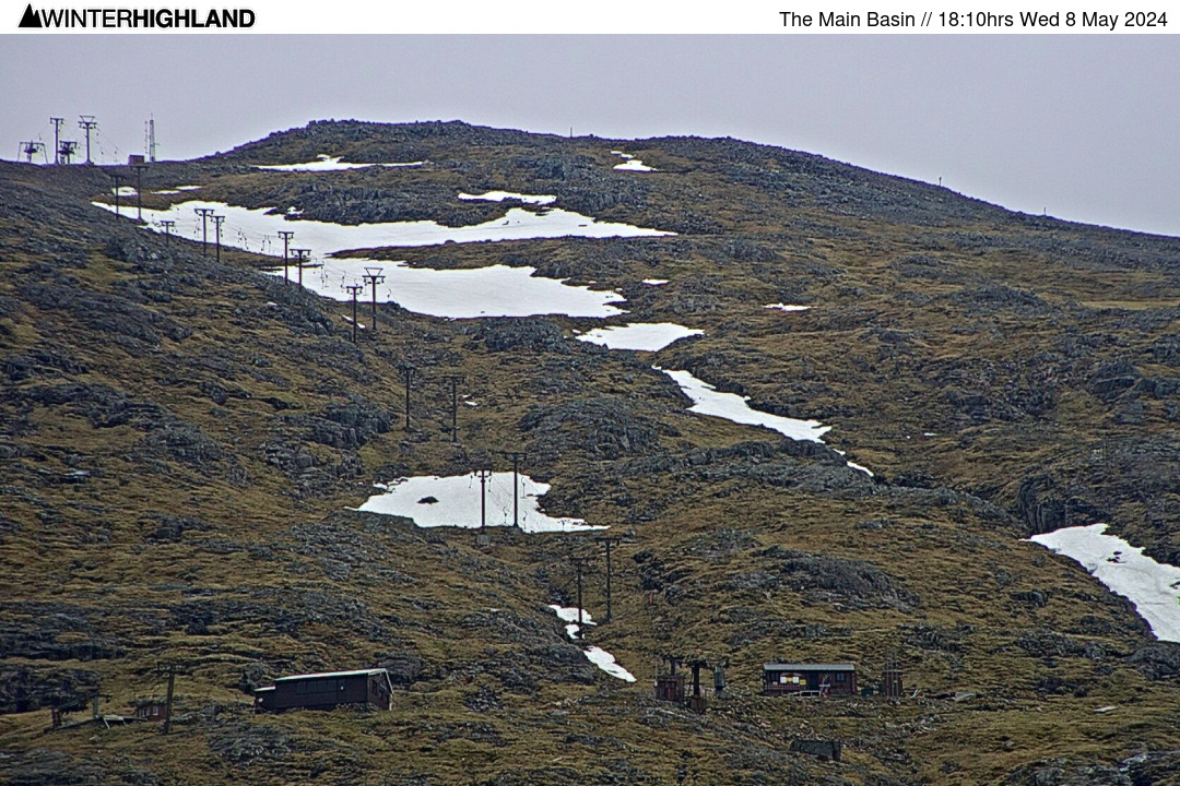
| Glencoe Webcams
 Nevis Webcams
Lowther Hill Cams

|
Fine Saturday for outdoor activities, best in the West on Sunday! This Report for the Scottish Highlands was issued at
20.42hrs Friday 19th April 2024. Main Basin & Spring Run complete at Glencoe, but alas uptracks are not, so turns will have to be earned this weekend. Sledge Park still open. CairnGorm is now officially closed for the season and it looks like the 2024 season is probably done, but the forecast models STILL continue to tease.
If you have been out on the slopes please send us photos to snow24 at winterhighland dot info.
Heavy snowfall caught the West coast mountains to start last week and those who did the leg work caught some fantastic fresh turns on windblown new snow on the upper mountain at Glencoe on Tuesday and Wednesday. Sadly Thursday brought warm temps, wind and rain, but Friday was an improving weather day and a fine dusk heralds a nice weekend for outdoor activities in the West.
The Main Basin and Spring Run are still very much skiable for those prepared to earn some turns at Glencoe from the top of the Access Chair and snow might start quite crisp, but expecting good granular spring snow to develop through the day. Alas the top uptracks are not complete, so not even a reappearance of the Main Basin T-bar gearbox could change the situation that turns need to be earned! The sledge park has shrunk a bit in the wind and rain on Thursday but is still long enough for good fun to be had. The sledging is just 5-7 minutes walk from the top of the Access Chair and is complimentary with a chairlift ticket (for which under 5s are free). At this time of year each weekend could be the last of sledging for the season, so catch it while you can ! Downhill mountain biking is now open at both Nevis Range and Glencoe, but the Macavalanche will mean disruption to the bike tracks at Nevis on Saturday. Top Chief will be closed for the day, the World Cup track will be closed for approximately 90 minutes from 1pm. There will also be some disruption to the lower XC trails in the morning. Also at Glencoe the disc golf course is open and wind should be lighter over the weekend! It does look as if the lift served season came to an end at Glencoe on Friday 5th April. If that is the season done and dusted, it will remarkably have ended on a day with 20cm of new snow on the mountain and Summit to Moor laps of 2400ft vertical being notched up at Glencoe! That just about sums up what an odd and frustrating season this has been. It feels as if the forecast models have been teasing us all season long to the extent that it feels as if we just narrowly missed out on a spectacular season. The sheer amount of snowfall this season in Scandinavia adds further to that feeling. As we move further through April it becomes the case that substantive new snowfalls that can reopen uplift are increasingly likely to be limited to the Northern Cairngorms, as cool Northerlies can bring big convective cells in from the Moray Firth. The Lecht can and has come back from nothing in May! So while that is probably that for season 2024, never say never! :: Club Fields Please check club access rules / availability if not a club member / pass holder. Weardale: https: //skiweardale.com/ . Allenheads: http://ski-allenheads.co.uk/ . Yad Moss: https: //yadmoss.co.uk/ . Raise: https: //www.ldscsnowski.co.uk/ . Lowther Hills Ski Club is in the process of being wound up. The remaining on hill infrastructure apart from the snow fences is required to be dismantled as per terms of the lease, thus sadly it will not be possible to operate the Lowther Hill summit webcam in future seasons. • top of page •
:: Mountain Weather In the East the CairnGorm Met Office Summit AWS (408ft/1245m) was -1.9°c with a North wind at 35 gusting 48 mph. The Cairnwell AWS reported +0.3°c at 3061ft, with a Northerly at a mean of 27 gusting 52 mph. Get an early weather check with our webcams from around 5.20am. • top of page •
:: Mountain Forecast Discussion More or less under the centre of the high and out of the influence of the Northerly breeze the West Highlands are expected to stay brighter all weekend. Munro level temps will dip below freezing this evening and there could be some frosts for sheltered glens too, but temps will rebound by day with the freezing level expected to nudge above the tops. NW to Northerly wind around 10 gusting 20 to 25mph on Saturday. On Sunday Munro level temperature will nudge up to +5 to +6°c, Northerly breeze will continue in the East but little or no wind expected in the West. A slight wobble from the high pressure looks to pull the more cloudy Northerly feed into the West for Monday with slightly fresher mountain winds around 20 to 25 gusting 35mph. Around +4 to +5°c at Munro Level. The high looks like nudging back East a bit on Tuesday, if it does so a stunning day on the mountains in the West Highlands can be expected, feeling warm in the sun above a possible inversion layer of remaining low cloud. Light to moderate Northerly, will fall light and variable in the West. Beyond it looks as if the high will start to retrogress and allow cooler if not colder air to return to Highland Scotland, with snow showers on the Munros exposed to the North West wind on Wednesday. Turning more widely showery later in the week with mountain snow and the balance of forecast model / ensemble output indicates colder than average conditions then holding towards early May. • top of page •
:: Webcams and Weather Stations GLENCOE: All webcams are online and the first updated images will be from around 5.20am. Summit and Base AWS online with no issues. • top of page •
|
Northern Cairngorms Outlook
Saturday 20th April
FL: 4000ft. Part Cloudy
914m: 2°c NNW 15 gust 25mph Sunday 21st April
FL: >Tops. Showers
914m: 5°c North 10-20mph More... 21.10hrs Fri 19th AprWest Highlands Outlook
Saturday 20th April
FL: >Tops. Part Cloudy
914m: 3°c NW 10 gust 20mph Sunday 21st April
FL: >Tops. Part Cloudy
914m: 5°c Little or No Wind. More... 21.09hrs Fri 19th AprSouthern Cairngorms Outlook
Saturday 20th April
FL: >Tops. Part Cloudy
914m: 3°c North 10-20mph Sunday 21st April
FL: >Tops. Overcast
914m: 6°c NW 10 gust 15mph More... 21.11hrs Fri 19th AprLowther Hill Outlook
Saturday 20th April
FL: >Tops. Part Cloudy
725m: 6°c NNW 10 gust 15mph Sunday 21st April
FL: >Tops. Overcast
725m: 7°c West 10-15mph More... 21.12hrs Fri 19th Apr | |||||||||||||||
| |||||||||||||||||